Older, solid-walled homes
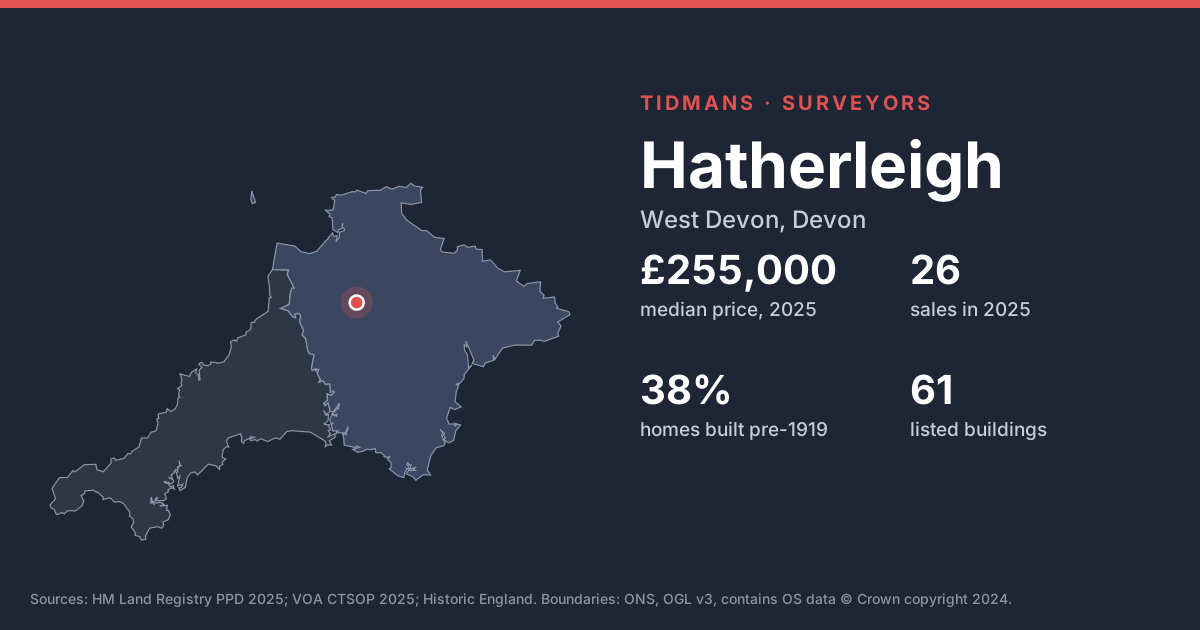
38% of the housing stock in these neighbourhoods dates from before 1919 and 37% from before 1900. Expect solid walls rather than cavities, so damp diagnosis needs care: cement renders, plastic paints and raised ground levels trap moisture in walls that were designed to breathe.
Source: VOA, Mar 2025
Listed buildings
Historic England lists 61 buildings in and around Hatherleigh, including Church Of St John The Baptist (Grade I); 18, Market Street (Grade II*). Buying a listed home? Ask the seller for consents for any past alterations, as unauthorised works stay with the building.
List entries: Church Of St John The Baptist · 18, Market Street
Source: Historic England
Conservation area
Conservation area here: Hatherleigh. Permitted development rights are narrower inside a conservation area, so extensions, windows and solar panels may need planning permission.
Source: planning.data.gov.uk
Flood risk (rivers and sea)
0 of 20 postcodes checked are in Flood Zone 2 or 3, so most of Hatherleigh sits outside the river and sea flood zones. Low-lying streets and surface water can still catch people out.
Source: Environment Agency
Radon
The 1 km radon map square at the centre of Hatherleigh is class 5: an estimated 10 to 30% of homes are above the radon Action Level. 100% of the sold postcodes we checked fall in a radon Affected Area. A three-month radon test is cheap, and fixes (often a sump or better underfloor ventilation) are well understood.
Source: UKHSA/BGS
Mining and mundic
Parts of West Devon share Cornwall's mining history; a mining search and, for pre-1950 concrete-block homes, a mundic test may be needed.
Source: UNESCO WHS; RICS
Ground and building stone
Under most of Hatherleigh the bedrock is interbedded sandstone and conglomerate (56%) and mudstone, siltstone and sandstone (44%). Cob (earth walling) is a traditional Devon material; it needs to breathe and stay dry, so cement render, blocked gutters and raised paths are red flags.
Source: BGS 625k
Ground stability
The BGS GeoSure 5 km hexagon covering Hatherleigh shows moderate slope instability (landslides) potential. That's a broad screen, not a site assessment; look for cracking, sticking doors and leaning walls.
Source: BGS GeoSure