Older, solid-walled homes
Dartmouth has a large older stock (35% pre-1919). Budget for the things old houses need: repointing, chimney work, timber repairs and sorting out unsuitable modern coatings.
Source: VOA, Mar 2025
Surveyors · Dartmouth, Devon
Home surveys in Dartmouth: the local risks, the price picture and the right survey level, from a surveyor-led Devon practice.
Our suggestion for Dartmouth
About a fifth or more of Dartmouth's homes are pre-1919, so the right survey depends on the house. Pick Level 3 for anything pre-1919, listed or much altered; a Level 2 covers a standard post-war or modern house in fair condition.
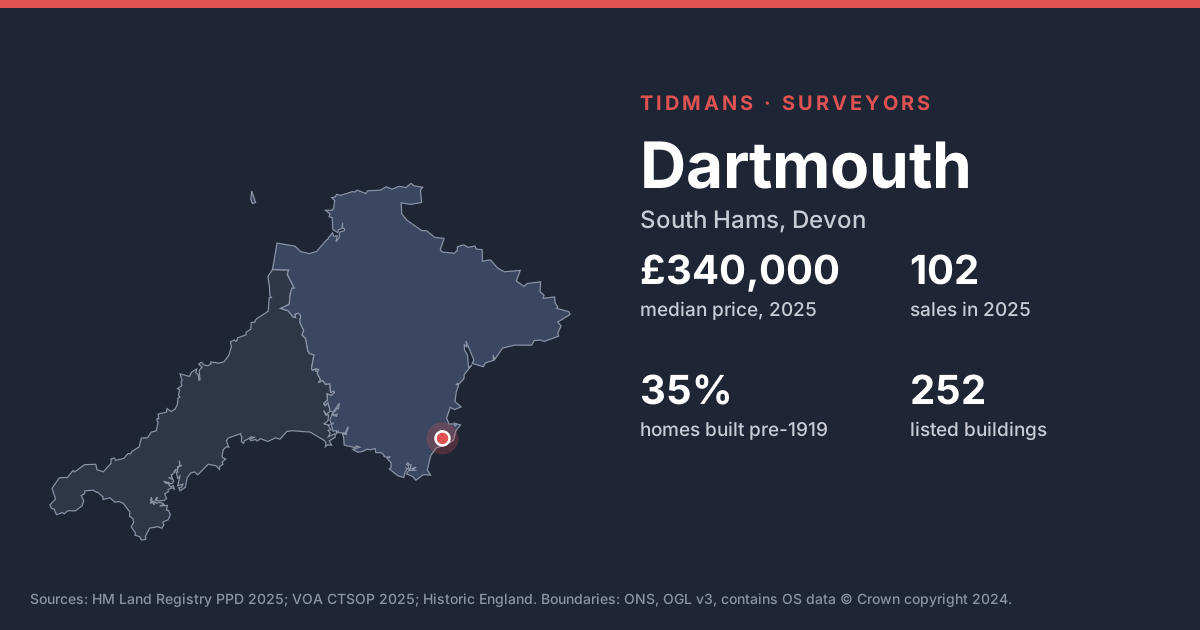
The median Dartmouth sale in 2025 was £340,000, across 102 sales (down 3% on 2024's £350,000).
| Type | Median |
|---|---|
| detached | £775,000 |
| semi-detached | £315,000 |
| terraced | £326,250 |
| flat/maisonette | £246,000 |
Sales mix: terraced 39%, flat/maisonette 27%, semi-detached 19%, detached 15%. TQ6. HM Land Registry, 2025, ONS built-up area. Residents: Dartmouth built-up area, ONS Census 2021.
Dartmouth has a large older stock (35% pre-1919). Budget for the things old houses need: repointing, chimney work, timber repairs and sorting out unsuitable modern coatings.
Source: VOA, Mar 2025
Historic England lists 252 buildings in and around Dartmouth, including Bearscove Castle (Grade I); Church Of St Clement (Grade I); Church Of St Saviour (Grade I). Listed status affects windows, renders and repairs, so check what consent exists for work already done.
List entries: Bearscove Castle · Church Of St Clement · Church Of St Saviour
Source: Historic England
South Hams District Council's conservation area boundaries aren't published to planning.data.gov.uk, so we can't map them here. Ask your conveyancer or check the council's website if you're planning alterations.
Source: planning.data.gov.uk (no data)
20 of the 81 postcodes we checked (postcodes where homes sold in 2025) have their centre in Environment Agency Flood Zone 2 or 3, and 19 in Zone 3. Ask the seller about any past flooding and check insurance costs before you exchange.
Source: Environment Agency
The 1 km radon map square at the centre of Dartmouth is class 5: an estimated 10 to 30% of homes are above the radon Action Level. 100% of the sold postcodes we checked fall in a radon Affected Area. Check whether the house has a radon sump or membrane, and if there's no test result, plan one in the first year.
Source: UKHSA/BGS
Mundic (decaying concrete made with mine waste) is mainly a Cornish issue, but lenders also ask about it in parts of Devon such as South Hams. A pre-1950 concrete-block home here may need a mundic test.
Source: RICS
Under most of Dartmouth the bedrock is mudstone, siltstone and sandstone (84%). Older homes are often built of local stone; check pointing, wall heads and chimney stacks.
Source: BGS 625k
The BGS GeoSure 5 km hexagon covering Dartmouth shows moderate slope instability (landslides) potential. That's a broad screen, not a site assessment; look for cracking, sticking doors and leaning walls.
Source: BGS GeoSure
Being about 0.5 km from the coast, homes here take the weather; inspect pointing, render and roof fixings closely.
Source: Natural Earth
Leasehold made up 24% of Dartmouth sales in 2025. Ask about years left on the lease, service charges and the sinking fund.
Source: HM Land Registry
Dartmouth LSOAs with 2025 sales. VOA, Mar 2025.
For Dartmouth sellers, 2025 medians were detached £775,000, semi-detached £315,000, terraced £326,250, flat/maisonette £246,000. Every home is different, which is why our market appraisal is in person, and free.
Need an EPC in Dartmouth? EPCs in Dartmouth. Request a quote for your sale or let.
Based on HM Land Registry Price Paid Data, 102 homes sold in Dartmouth in 2025 with a median price of £340,000 (down 3% on 2024's £350,000). The most common type sold was terraced (39% of sales).
We carry out RICS Level 2 and Level 3 surveys. Which you need depends on the age and type of the house. 35% of homes in the 5 neighbourhoods where Dartmouth homes sold were built before 1919. 252 listed buildings in and around Dartmouth, 15 of them Grade I or II*. Tell us the age and type of the house and we'll confirm.
For most of Dartmouth, yes (100% of checked postcodes). At the centre, 10 to 30% of homes are estimated to exceed the Action Level (class 5).
20 out of 81 checked Dartmouth postcodes sit in Flood Zone 2 or 3, 19 of them in Zone 3. That's river and sea flooding; surface water is separate.
Historic England's list shows 252 listed buildings in and around Dartmouth: 7 Grade I, 8 Grade II* and 237 Grade II.
Online, in a couple of minutes: Survey Booker gives an instant price for Dartmouth homes. You can also call us.