Listed buildings
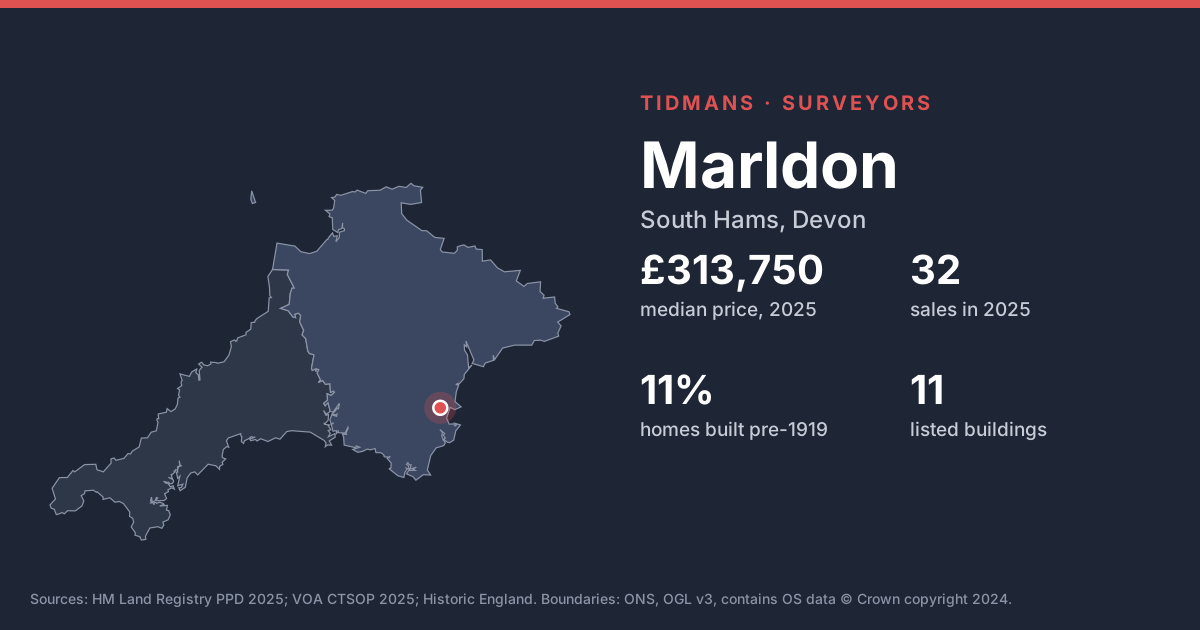
Historic England lists 11 buildings in and around Marldon, including Church Of St John The Baptist (Grade I). If the home you're buying is listed, alterations (even past ones) may have needed listed building consent; ask for the paperwork.
List entries: Church Of St John The Baptist
Source: Historic England
Conservation areas
South Hams District Council's conservation area boundaries aren't published to planning.data.gov.uk, so we can't map them here. Ask your conveyancer or check the council's website if you're planning alterations.
Source: planning.data.gov.uk (no data)
Flood risk (rivers and sea)
0 of 21 postcodes checked are in Flood Zone 2 or 3, so most of Marldon sits outside the river and sea flood zones. Low-lying streets and surface water can still catch people out.
Source: Environment Agency
Radon
The 1 km radon map square at the centre of Marldon is class 5: an estimated 10 to 30% of homes are above the radon Action Level. 100% of the sold postcodes we checked fall in a radon Affected Area. Ask the seller for any radon test result, or test after you move in; remedies are usually straightforward.
Source: UKHSA/BGS
Mundic
Mundic (decaying concrete made with mine waste) is mainly a Cornish issue, but lenders also ask about it in parts of Devon such as South Hams. A pre-1950 concrete-block home here may need a mundic test.
Source: RICS
Ground and building stone
Under most of Marldon the bedrock is mudstone, siltstone and sandstone (54%) and interbedded sandstone and conglomerate (29%). In Devon, older homes on this ground are often cob (earth walls) or local stone; cob must stay dry, so look hard at renders, gutters and ground levels.
Source: BGS 625k
Ground stability
The BGS GeoSure 5 km hexagon covering Marldon shows moderate slope instability (landslides), significant soluble rocks (dissolution) potential. That's a broad screen, not a site assessment; look for cracking, sticking doors and leaning walls.
Source: BGS GeoSure