TIDMANS

Surveyors · Thurlestone, Devon

Surveyors in Thurlestone

Buying in Thurlestone? Here's what the public data says about its homes, and which RICS survey suits them.

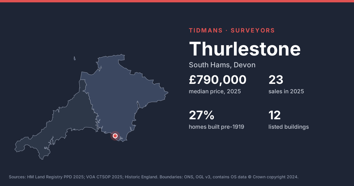
Map of Cornwall and Devon with a pin on Thurlestone. Thurlestone: median price £790,000 from 23 sales in 2025, 27% of homes built before 1919, 12 listed buildings.

Our suggestion for Thurlestone

Level 2 or Level 3, depending on age

Choose by age in Thurlestone: a Level 2 for post-war homes, a Level 3 for period ones. If the house is Victorian or older, listed, or has been heavily extended, go Level 3. Otherwise a Level 2 normally does the job.

  • Pre-1919 share of local housing: 27% (VOA).
  • 12 listed buildings in and around Thurlestone, 1 of them Grade I or II*.

Thurlestone market snapshot

The median Thurlestone sale in 2025 was £790,000, across 23 sales.

Median price, 2025
£790,000
Sales, 2025
23
Leasehold share
9%
Residents, Census 2021
566
By type (5+ sales)
TypeMedian
detached£860,000

Sales mix: detached 65%, semi-detached 17%, terraced 9%, flat/maisonette 9%. TQ7. HM Land Registry, 2025, ONS built-up area. Residents: Thurlestone built-up area, ONS Census 2021.

What to look out for when buying in Thurlestone

Older, solid-walled homes

Before-1919 homes make up 27% of the stock here. Solid-walled houses behave differently from modern ones; watch for hard cement pointing and modern coatings that hold moisture in, and treat any 'rising damp' diagnosis from a damp-proofing salesman with caution.

Source: VOA, Mar 2025

Listed buildings

Historic England lists 12 buildings in and around Thurlestone, including Church Of All Saints (Grade II*). On a listed home, like-for-like repairs with traditional materials are the rule; your surveyor should flag anything that looks unconsented.

List entries: Church Of All Saints

Source: Historic England

Conservation areas

Conservation area data for South Hams isn't on planning.data.gov.uk yet. Your local search will say whether the Thurlestone property is in one.

Source: planning.data.gov.uk (no data)

Flood risk (rivers and sea)

0 of 16 postcodes checked are in Flood Zone 2 or 3, so most of Thurlestone sits outside the river and sea flood zones. Low-lying streets and surface water can still catch people out.

Source: Environment Agency

Radon

The 1 km radon map square at the centre of Thurlestone is class 5: an estimated 10 to 30% of homes are above the radon Action Level. 100% of the sold postcodes we checked fall in a radon Affected Area. It's invisible and odourless, so the only way to know is a test; ask the seller, or budget for one after you move in.

Source: UKHSA/BGS

Mundic

Mundic (decaying concrete made with mine waste) is mainly a Cornish issue, but lenders also ask about it in parts of Devon such as South Hams. A pre-1950 concrete-block home here may need a mundic test.

Source: RICS

Ground and building stone

Under most of Thurlestone the bedrock is mudstone, siltstone and sandstone (100%). Older homes are often built of local stone; check pointing, wall heads and chimney stacks.

Source: BGS 625k

Coastal exposure

Thurlestone is within about 0.5 km of the open coast. Salt air shortens the life of metal fixings, window frames and render, and wind-driven rain finds weak spots in walls.

Source: Natural Earth
When Thurlestone's homes were built

  • pre-190026%
  • 1900-19181%
  • 1919-194410%
  • 1945-197223%
  • 1973-199927%
  • 2000 onwards13%

Thurlestone LSOAs with 2025 sales. VOA, Mar 2025.

Selling in Thurlestone?

Selling a home in Thurlestone? Last year's medians ran: detached £860,000. Every home is different, which is why our market appraisal is in person, and free.

Need an EPC in Thurlestone? EPCs in Thurlestone. Request a quote for your sale or let.

Places near Thurlestone

All South Hams places · All Devon places

Thurlestone survey questions

How much do houses cost in Thurlestone?

Based on HM Land Registry Price Paid Data, 23 homes sold in Thurlestone in 2025 with a median price of £790,000. The most common type sold was detached (65% of sales).

Which survey do I need for a house in Thurlestone?

We carry out RICS Level 2 and Level 3 surveys. Which you need depends on the age and type of the house. Pre-1919 share of local housing: 27% (VOA). 12 listed buildings in and around Thurlestone, 1 of them Grade I or II*. Tell us the age and type of the house and we'll confirm.

Is Thurlestone in a radon Affected Area?

Largely, yes. The central square is class 5, meaning 10 to 30% of homes are estimated above the Action Level, and 100% of checked postcodes are affected.

Does Thurlestone flood?

0 out of 16 checked Thurlestone postcodes sit in Flood Zone 2 or 3, 0 of them in Zone 3. That's river and sea flooding; surface water is separate.

How do I get a survey quote in Thurlestone?

Online, in a couple of minutes: Survey Booker gives an instant price for Thurlestone homes. You can also call us.

Buying in Thurlestone?