Older, solid-walled homes
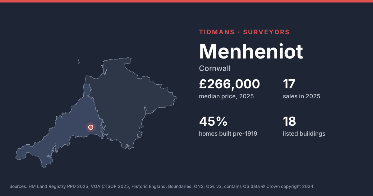
Before-1919 homes make up 45% of the stock here. Solid-walled houses behave differently from modern ones; watch for hard cement pointing and modern coatings that hold moisture in, and treat any 'rising damp' diagnosis from a damp-proofing salesman with caution.
Source: VOA, Mar 2025
Listed buildings
Historic England lists 18 buildings in and around Menheniot, including Church Of St Lalluwy (Grade I). If the home you're buying is listed, alterations (even past ones) may have needed listed building consent; ask for the paperwork.
List entries: Church Of St Lalluwy
Source: Historic England
Flood risk (rivers and sea)
0 of 10 postcodes checked are in Flood Zone 2 or 3, so most of Menheniot sits outside the river and sea flood zones. Low-lying streets and surface water can still catch people out.
Source: Environment Agency
Radon
The 1 km radon map square at the centre of Menheniot is class 5: an estimated 10 to 30% of homes are above the radon Action Level. 100% of the sold postcodes we checked fall in a radon Affected Area. A three-month radon test is cheap, and fixes (often a sump or better underfloor ventilation) are well understood.
Source: UKHSA/BGS
Mining and mundic
Two Cornish checks to expect: a mining search from your conveyancer, and, for concrete-block houses from before about 1950, a mundic screening test.
Source: UNESCO WHS; RICS
Ground and building stone
Under most of Menheniot the bedrock is mudstone, siltstone and sandstone (100%). This is the 'killas' country of slate and shale; older homes are often rubble stone, sometimes slate-hung, and weathering of soft stone and mortar is common.
Source: BGS 625k
Ground stability
The BGS GeoSure 5 km hexagon covering Menheniot shows moderate slope instability (landslides) potential. That's a broad screen, not a site assessment; look for cracking, sticking doors and leaning walls.
Source: BGS GeoSure