Older, solid-walled homes
With 37% of local homes built before the First World War, expect stone or solid brick walls, lath-and-plaster ceilings and roof timbers that have been patched more than once.
Source: VOA, Mar 2025
Surveyors · Grampound Road, Cornwall
RICS Level 2 and Level 3 surveys for homes in Grampound Road, Cornwall, with local data on age, flood, radon and listed buildings.
Our suggestion for Grampound Road
About a fifth or more of Grampound Road's homes are pre-1919, so the right survey depends on the house. Pick Level 3 for anything pre-1919, listed or much altered; a Level 2 covers a standard post-war or modern house in fair condition.
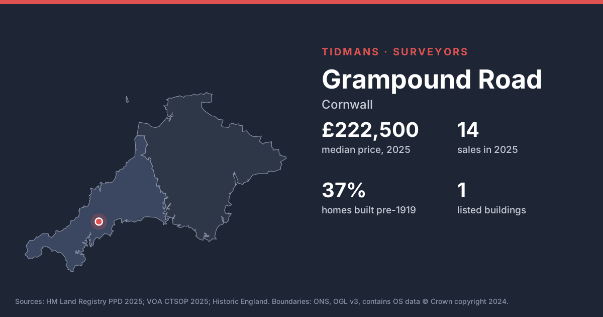
The median Grampound Road sale in 2025 was £222,500, across 14 sales (down 3% on 2024's £229,500).
| Type | Median |
|---|---|
| terraced | £225,000 |
Sales mix: terraced 64%, semi-detached 21%, detached 14%. TR2. HM Land Registry, 2025, ONS built-up area. Residents: Grampound Road built-up area, ONS Census 2021.
With 37% of local homes built before the First World War, expect stone or solid brick walls, lath-and-plaster ceilings and roof timbers that have been patched more than once.
Source: VOA, Mar 2025
Historic England lists 1 building in and around Grampound Road. Listed status affects windows, renders and repairs, so check what consent exists for work already done.
Source: Historic England
River and sea flood risk is limited here: 0 of 9 sampled postcodes fall in Zone 2 or 3. Surface-water risk is a separate map worth a look.
Source: Environment Agency
The 1 km radon map square at the centre of Grampound Road is class 6: an estimated 30% or more of homes are above the radon Action Level. 100% of the sold postcodes we checked fall in a radon Affected Area. A three-month radon test is cheap, and fixes (often a sump or better underfloor ventilation) are well understood.
Source: UKHSA/BGS
Cornwall's mines left shafts and workings that aren't all mapped, which is why a mining search comes as standard here; pre-1950 concrete homes also raise the mundic question.
Source: UNESCO WHS; RICS
Under most of Grampound Road the bedrock is mudstone, siltstone and sandstone (100%). This is the 'killas' country of slate and shale; older homes are often rubble stone, sometimes slate-hung, and weathering of soft stone and mortar is common.
Source: BGS 625k
The BGS GeoSure 5 km hexagon covering Grampound Road shows moderate slope instability (landslides) potential. That's a broad screen, not a site assessment; look for cracking, sticking doors and leaning walls.
Source: BGS GeoSure
Grampound Road LSOAs with 2025 sales. VOA, Mar 2025.
Selling a home in Grampound Road? Last year's medians ran: terraced £225,000. Your house isn't an average, so we come and look: the appraisal is free.
Need an EPC in Grampound Road? EPCs in Grampound Road. Request a quote for your sale or let.
All Truro and Falmouth constituency places · All Cornwall places
Based on HM Land Registry Price Paid Data, 14 homes sold in Grampound Road in 2025 with a median price of £222,500 (down 3% on 2024's £229,500). The most common type sold was terraced (64% of sales).
We carry out RICS Level 2 and Level 3 surveys. Which you need depends on the age and type of the house. 37% of homes in the 1 neighbourhoods where Grampound Road homes sold were built before 1919. 1 listed building in and around Grampound Road. If in doubt, the chooser on our survey page takes a minute.
Yes, mostly: 100% of the 9 sold postcodes we checked are in an Affected Area, and the central 1 km square is class 6 (30% or more of homes above the Action Level).
Of 9 postcodes in Grampound Road with 2025 sales, 0 have their centre in Flood Zone 2 or 3 (rivers and sea) and 0 in Zone 3. Surface water isn't included.
Yes in practice: lenders expect one across Cornwall. The conveyancer arranges it.
Click 'Get a survey quote' on this page; Survey Booker prices your Grampound Road survey instantly and lets you book.