Listed buildings
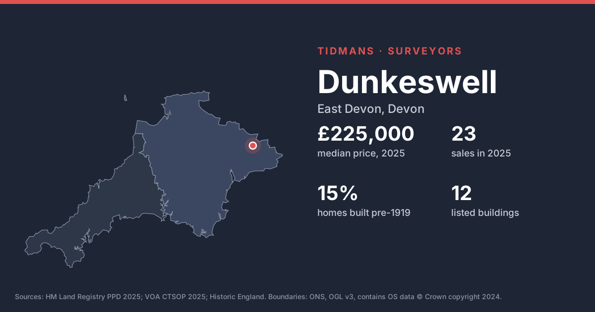
Historic England lists 12 buildings in and around Dunkeswell, including Connets Farmhouse Including Outbuilding Adjoining To The South-East And Front Garden Walls (Grade II*). On a listed home, like-for-like repairs with traditional materials are the rule; your surveyor should flag anything that looks unconsented.
List entries: Connets Farmhouse Including Outbuilding Adjoining To The South-East And Front Garden Walls
Source: Historic England
Conservation area
Conservation area here: Dunkeswell. Permitted development rights are narrower inside a conservation area, so extensions, windows and solar panels may need planning permission.
Source: planning.data.gov.uk
Flood risk (rivers and sea)
0 of 18 postcodes checked are in Flood Zone 2 or 3, so most of Dunkeswell sits outside the river and sea flood zones. Low-lying streets and surface water can still catch people out.
Source: Environment Agency
Radon
The 1 km radon map square at the centre of Dunkeswell is class 4: an estimated 5 to 10% of homes are above the radon Action Level. 100% of the sold postcodes we checked fall in a radon Affected Area. A three-month radon test is cheap, and fixes (often a sump or better underfloor ventilation) are well understood.
Source: UKHSA/BGS
Ground and building stone
Under most of Dunkeswell the bedrock is mudstone, sandstone and limestone (100%). Older homes are often built of local stone; check pointing, wall heads and chimney stacks.
Source: BGS 625k
Ground stability
The BGS GeoSure 5 km hexagon covering Dunkeswell shows moderate shrink-swell clay, significant slope instability (landslides) potential. That's a broad screen, not a site assessment; look for cracking, sticking doors and leaning walls.
Source: BGS GeoSure