Older, solid-walled homes
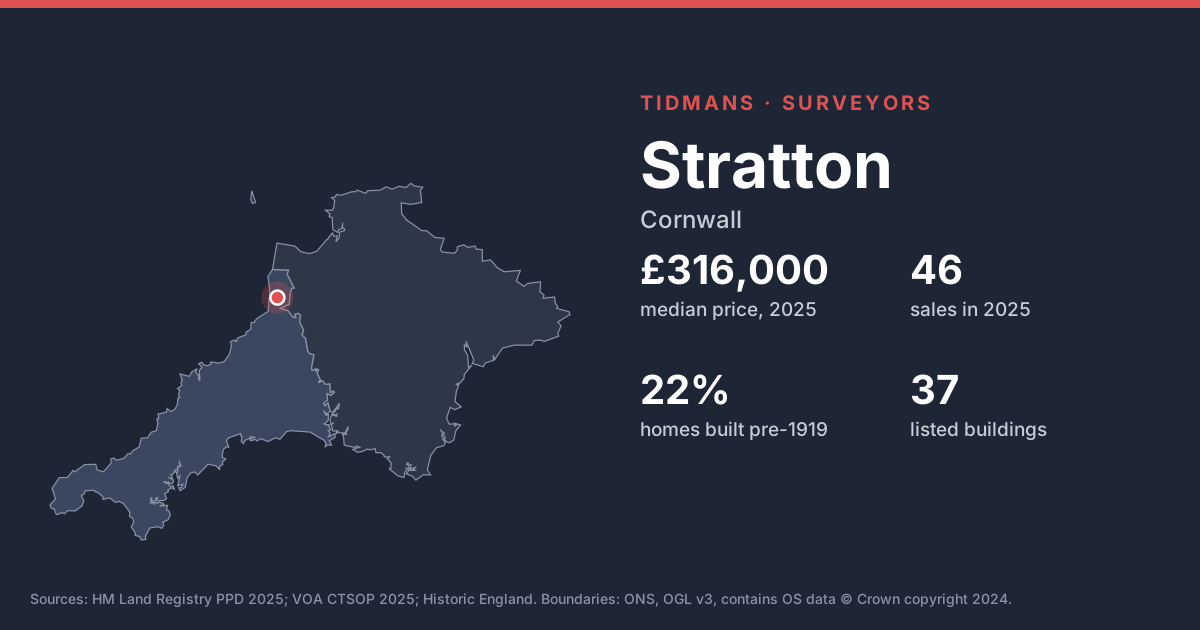
22% of the housing stock in these neighbourhoods dates from before 1919 and 20% from before 1900. Expect solid walls rather than cavities, so damp diagnosis needs care: cement renders, plastic paints and raised ground levels trap moisture in walls that were designed to breathe.
Source: VOA, Mar 2025
Listed buildings
Historic England lists 37 buildings in and around Stratton, including Church Of St Andrew (Grade I); House Adjoining Church Cottage To The West (Grade II*); The Post Office And Dwelling House Adjoining At South, The Drangway And Part Of Passage To The East Between Church Square And Gibraltar Square (Grade II*). Listed status affects windows, renders and repairs, so check what consent exists for work already done.
List entries: Church Of St Andrew · House Adjoining Church Cottage To The West · The Post Office And Dwelling House Adjoining At South, The Drangway And Part Of Passage To The East Between Church Square And Gibraltar Square
Source: Historic England
Conservation area
Conservation area here: Stratton. If you plan changes, check with the council first: conservation area rules limit what you can do without permission.
Source: planning.data.gov.uk
Flood risk (rivers and sea)
Only 0 of the 27 postcodes we checked have their centre in Flood Zone 2 or 3. That's rivers and sea only; surface water is mapped separately, so still check the address.
Source: Environment Agency
Radon
The 1 km radon map square at the centre of Stratton is class 2: an estimated 1 to 3% of homes are above the radon Action Level. 100% of the sold postcodes we checked fall in a radon Affected Area. Radon is a known issue in much of the South West; ask whether the home has been tested or has protection.
Source: UKHSA/BGS
Mining and mundic
Cornwall's metal-mining history means conveyancers usually order a mining search, and concrete-block homes built before about 1950 may need a mundic test for a mortgage.
Source: UNESCO WHS; RICS
Ground and building stone
Under most of Stratton the bedrock is mudstone, siltstone and sandstone (100%). Locally the slates and shales are called killas; rubble-stone and slate-hung walls are typical, and soft stone and old mortar weather over time.
Source: BGS 625k
Ground stability
The BGS GeoSure 5 km hexagon covering Stratton shows moderate slope instability (landslides) potential. That's a broad screen, not a site assessment; look for cracking, sticking doors and leaning walls.
Source: BGS GeoSure