Older, solid-walled homes
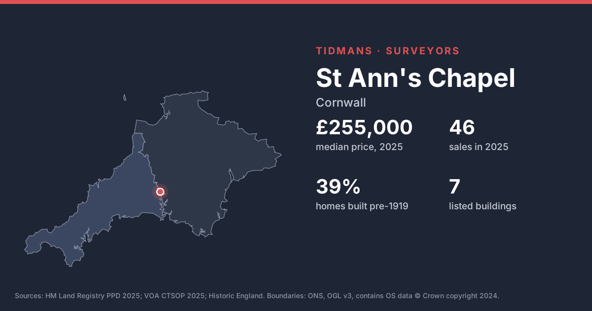
39% of the housing stock in these neighbourhoods dates from before 1919 and 37% from before 1900. Expect solid walls rather than cavities, so damp diagnosis needs care: cement renders, plastic paints and raised ground levels trap moisture in walls that were designed to breathe.
Source: VOA, Mar 2025
Listed buildings
Historic England lists 7 buildings in and around St Ann's Chapel. If the home you're buying is listed, alterations (even past ones) may have needed listed building consent; ask for the paperwork.
Source: Historic England
Flood risk (rivers and sea)
0 of 35 postcodes checked are in Flood Zone 2 or 3, so most of St Ann's Chapel sits outside the river and sea flood zones. Low-lying streets and surface water can still catch people out.
Source: Environment Agency
Radon
The 1 km radon map square at the centre of St Ann's Chapel is class 6: an estimated 30% or more of homes are above the radon Action Level. 100% of the sold postcodes we checked fall in a radon Affected Area. It's invisible and odourless, so the only way to know is a test; ask the seller, or budget for one after you move in.
Source: UKHSA/BGS
Mining and mundic
St Ann's Chapel lies inside the Cornwall and West Devon Mining Landscape World Heritage Site. Cornwall's mines left shafts and workings that aren't all mapped, which is why a mining search comes as standard here; pre-1950 concrete homes also raise the mundic question.
Source: UNESCO WHS; RICS
Ground and building stone
Under most of St Ann's Chapel the bedrock is mudstone, siltstone and sandstone (99%). Locally the slates and shales are called killas; rubble-stone and slate-hung walls are typical, and soft stone and old mortar weather over time.
Source: BGS 625k