Older, solid-walled homes
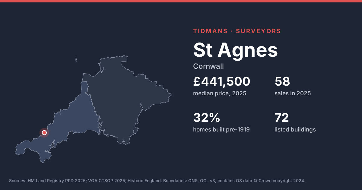
32% of the housing stock in these neighbourhoods dates from before 1919 and 32% from before 1900. Expect solid walls rather than cavities, so damp diagnosis needs care: cement renders, plastic paints and raised ground levels trap moisture in walls that were designed to breathe.
Source: VOA, Mar 2025
Listed buildings
Historic England lists 72 buildings in and around St Agnes, including Church Of St Agnes (Grade II*). On a listed home, like-for-like repairs with traditional materials are the rule; your surveyor should flag anything that looks unconsented.
List entries: Church Of St Agnes
Source: Historic England
Conservation area
Conservation area here: St Agnes. Inside a conservation area, things like replacement windows and roof changes can need permission, which matters if you're planning work.
Source: planning.data.gov.uk
Flood risk (rivers and sea)
1 of 43 postcodes checked are in Flood Zone 2 or 3, so most of St Agnes sits outside the river and sea flood zones. Low-lying streets and surface water can still catch people out.
Source: Environment Agency
Radon
The 1 km radon map square at the centre of St Agnes is class 6: an estimated 30% or more of homes are above the radon Action Level. 100% of the sold postcodes we checked fall in a radon Affected Area. Check whether the house has a radon sump or membrane, and if there's no test result, plan one in the first year.
Source: UKHSA/BGS
Mining and mundic
St Agnes lies inside the Cornwall and West Devon Mining Landscape World Heritage Site. Cornwall's mines left shafts and workings that aren't all mapped, which is why a mining search comes as standard here; pre-1950 concrete homes also raise the mundic question.
Source: UNESCO WHS; RICS
Ground and building stone
Under most of St Agnes the bedrock is mudstone, siltstone and sandstone (95%). Locally the slates and shales are called killas; rubble-stone and slate-hung walls are typical, and soft stone and old mortar weather over time.
Source: BGS 625k
Ground stability
The BGS GeoSure 5 km hexagon covering St Agnes shows moderate slope instability (landslides) potential. That's a broad screen, not a site assessment; look for cracking, sticking doors and leaning walls.
Source: BGS GeoSure
Coastal exposure
St Agnes is within about 1.2 km of the open coast. Salt air shortens the life of metal fixings, window frames and render, and wind-driven rain finds weak spots in walls.
Source: Natural Earth