Older, solid-walled homes
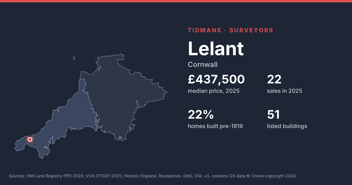
Before-1919 homes make up 22% of the stock here. Solid-walled houses behave differently from modern ones; watch for hard cement pointing and modern coatings that hold moisture in, and treat any 'rising damp' diagnosis from a damp-proofing salesman with caution.
Source: VOA, Mar 2025
Listed buildings
Historic England lists 51 buildings in and around Lelant, including Stone Cross In Furthermost Southern Churchyard South Of St Uny'S Church (Grade II*); Stone Cross In Western Cemetery(At Crossing Of Paths) West Of St Uny'S Church (Grade II*). Buying a listed home? Ask the seller for consents for any past alterations, as unauthorised works stay with the building.
List entries: Stone Cross In Furthermost Southern Churchyard South Of St Uny'S Church · Stone Cross In Western Cemetery(At Crossing Of Paths) West Of St Uny'S Church
Source: Historic England
Conservation area
Conservation area here: Lelant. Permitted development rights are narrower inside a conservation area, so extensions, windows and solar panels may need planning permission.
Source: planning.data.gov.uk
Flood risk (rivers and sea)
5 of the 18 postcodes we checked (postcodes where homes sold in 2025) have their centre in Environment Agency Flood Zone 2 or 3, and 1 in Zone 3. Look up the exact property, not just the postcode, and get an insurance quote early.
Source: Environment Agency
Radon
The 1 km radon map square at the centre of Lelant is class 6: an estimated 30% or more of homes are above the radon Action Level. 100% of the sold postcodes we checked fall in a radon Affected Area. Ask the seller for any radon test result, or test after you move in; remedies are usually straightforward.
Source: UKHSA/BGS
Mining and mundic
Lelant lies inside the Cornwall and West Devon Mining Landscape World Heritage Site. Cornwall's metal-mining history means conveyancers usually order a mining search, and concrete-block homes built before about 1950 may need a mundic test for a mortgage.
Source: UNESCO WHS; RICS
Ground and building stone
Under most of Lelant the bedrock is mudstone, siltstone and sandstone (100%). This is the 'killas' country of slate and shale; older homes are often rubble stone, sometimes slate-hung, and weathering of soft stone and mortar is common.
Source: BGS 625k
Ground stability
The BGS GeoSure 5 km hexagon covering Lelant shows moderate slope instability (landslides) potential. That's a broad screen, not a site assessment; look for cracking, sticking doors and leaning walls.
Source: BGS GeoSure
Coastal exposure
Being about 1.2 km from the coast, homes here take the weather; inspect pointing, render and roof fixings closely.
Source: Natural Earth